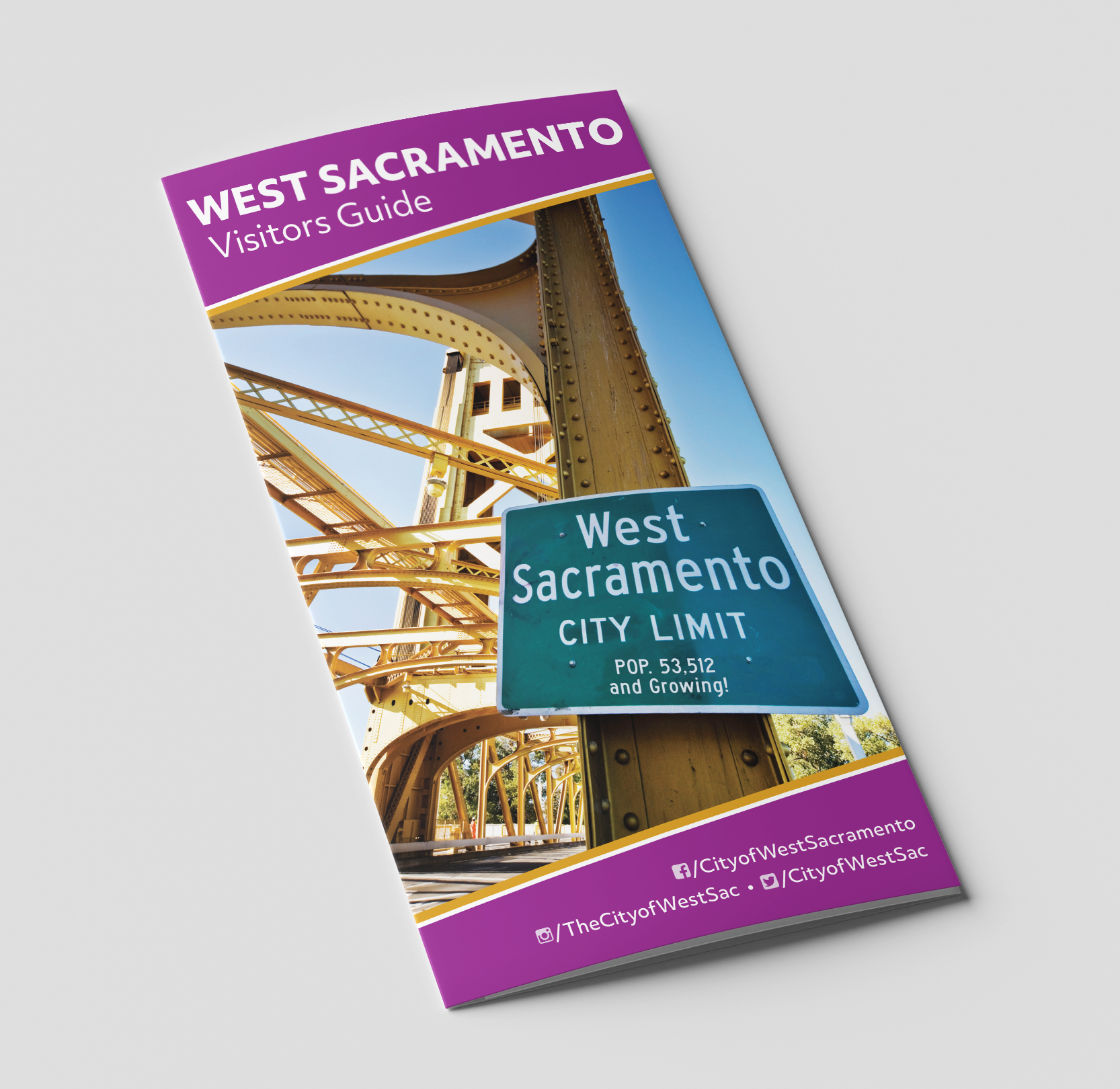
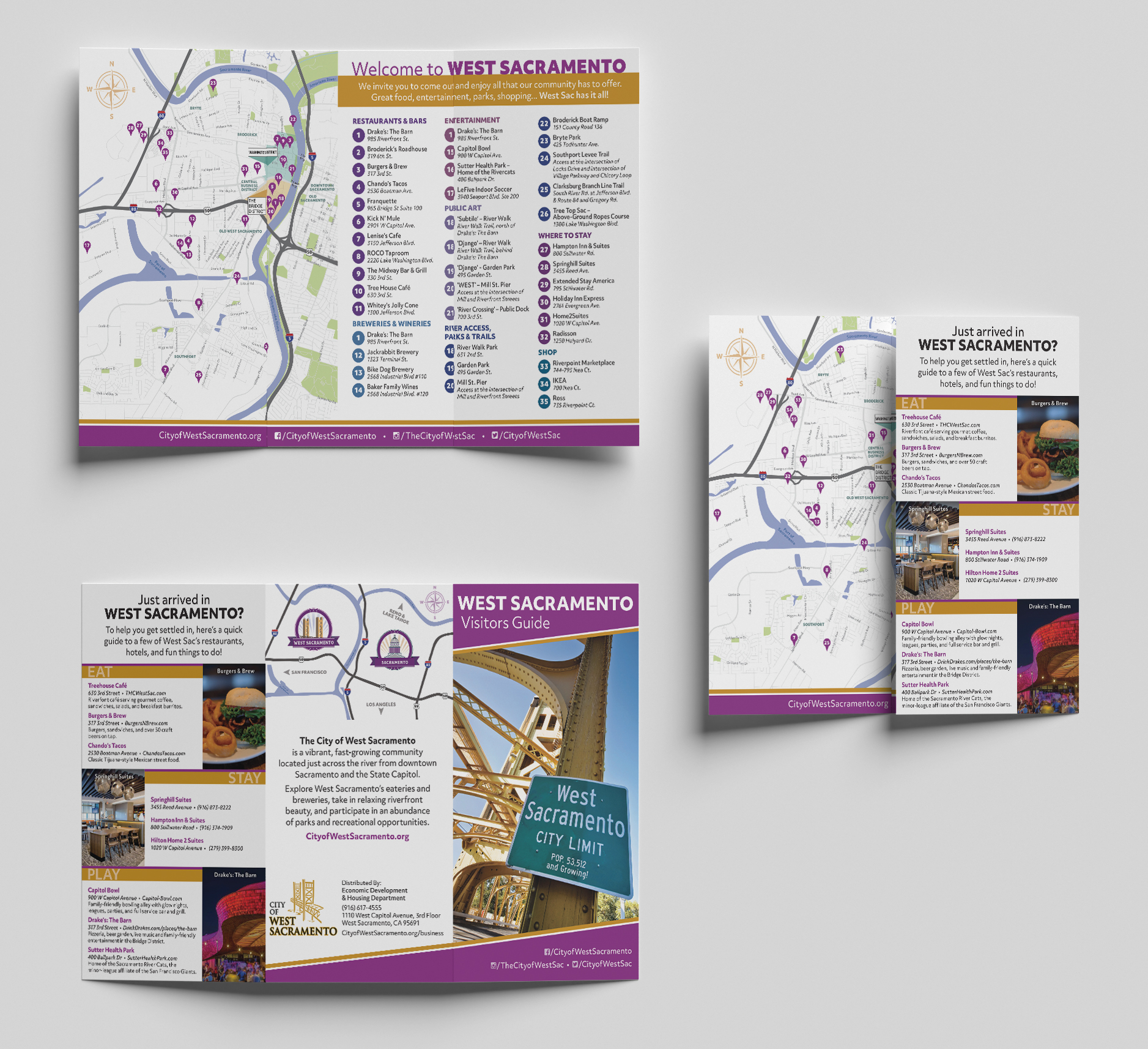
The City of West Sacramento was given space to display a Visitors Guide at the Sacramento International Airport as part of an outreach program in partnership with Visit Sacramento. It needed to feature area maps as well as information on attractions, restaurants, parks, and trails that can be found in West Sacramento. After being provided with only a list of vendors and locations to be featured, and a general description of the map boundaries to be shown, my job was to create an easy-to-use brochure that packed a lot of information into a fairly small amount of space. I generated the maps using GIS software, created the numbered list of vendors and attractions that served as a legend for the main map, and added corresponding points plotted on the map itself. I included contact and location information for the list, and wrote descriptive text in addition to what was provided by the City.
City of West Sacramento


